
- showcases the heritage of the former Busselton to Flinders Bay Railway, including the industries and communities it served from 1884 to 1957
- open to walkers and cyclists
- allows visitors to experience the diversity of the Margaret River Region, including local history, Aboriginal and heritage values, natural environment and local industries
- users are treated to forests, plantations, vineyards, agricultural land and granite outcrops
- located in one of world’s 34 biodiversity hotspots, the track is an excellent place to see some of the flora and fauna found in Australia’s southwest
Nearby Attractions
- historic Busselton jetty precinct
- scenic forests and farmland
- wineries and breweries
- shops and services in the towns of Cowaramup, Margaret River and Witchcliffe
- an extensive network of MTB trails just north of Margaret River
- connecting trails including the Ten Mile Brook Trail and Darch Trail
Last updated: 19 September 2024
Formerly known as the Busselton-Flinders Bay Rail Trail, the Wadandi Track is a partially complete rail trail in the Leeuwin-Naturaliste region of Western Australia. The track is situated on the alignment of the 109 km railway that once linked Busselton to Augusta.
Two sections of the track are currently open – Busselton Jetty to Carbanup River (which is mainly asphalt), and Cowaramup to Vlam Road (which is mainly gravel).
Section Guides
Busselton Jetty to Carbanup River (15.5 km)
The northern part of the trail begins near Busselton Jetty, the longest timber-piled jetty in the Southern Hemisphere. The official northern trailhead is at Railway House, which houses the historic Ballaarat Engine, the oldest surviving Australian-built locomotive.
Leaving the Busselton Jetty precinct, the track heads west, following the original railway alignment along the Geographe Bay foreshore. The trail crosses the bridge at the Vasse River Diversion before turning inland near the Busselton Health Campus. The route continues through the Broadwater Nature Reserve wetlands before turning west to run parallel to the Busselton Bypass.
The trail enters the residential village of Vasse to meet the next trailhead. Just west of Vasse, the trail transitions from asphalt to gravel and continues west to Carbanup River near the site of the former Marybrook siding.
The section between Carbanup River and Cowaramup is yet to be developed.
Cowaramup to Vlam Road (37.3 km)
The southern part of the trail begins at the corner of Memorial Drive and Sunset Drive in Cowaramup. Heading south toward Margaret River, the trail winds through a bushland corridor and crosses several creeks. Just north of Carters Rd the trail provides access to the Margaret River MTB area.
After crossing Carters Rd the trail passes along the western side of Margaret River. The town centre can be reached along Turnbridge St or the cycleway on Wallcliffe Rd.
South of Margaret River the trail passes through forest, scrub and open farmland before arriving the small town of Witchcliffe.
While the official southern trailhead is currently at Calgardup Rd, the railway alignment can be traced along Harrison Rd and Boulter Rd all the way to Vlam Road.
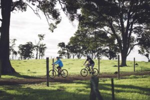
Witchcliffe 2015

Witchcliffe 2015
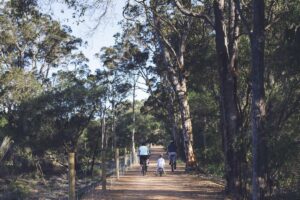
Witchcliffe 2015
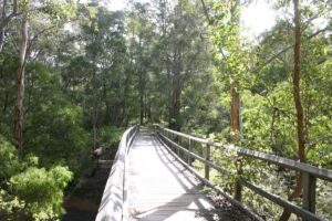
North of Margaret River 2006
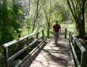
Bridge on the trail between Margaret River and Cowaramup
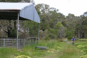
The trail near Cowaramup 2006
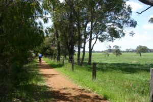
Near its northern end, the trail passes through farmland 2006
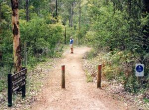
Trail between Margaret River and Cowaramup
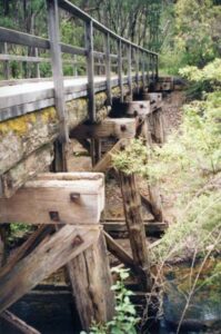
Bridge on the trail between Margaret River and Cowaramup 2006
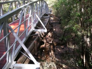
North of Margaret River two new bridges have been built over the timber rail bridges so they can be retained 2009
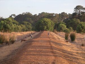
Some locals on the trail south of Margaret River 2009
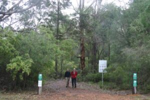
On the trail, north of Gnarawary Rd

Wadandi track - south of Margaret River
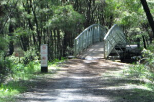
One of several creek crossings north of Margaret River
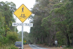
Road crossing
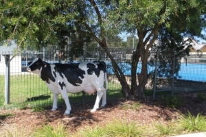
Cowaramup - aka "Cow Town"
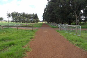
adandi track - south of Margaret River
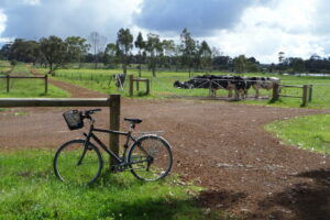
adandi track - south of Margaret River
Do you know of a bike hire or transportation service on this rail trail that should appear here? If so, let us know at admin@railtrails.org.au.
Information and Links
See Services tab above for links to services and businesses along this trail
For more information:
The trail is managed by the City of Busselton and Shire of Augusta Margaret River. To report issues or problems please contact:
- City of Busselton: (08) 9781 0444
- Shire of Augusta Margaret River: (08) 9780 5255
Contact Rail Trails Australia
To contact us about this rail trail, email wa@railtrails.org.au
Background Information
Traditional owners
Rail Trails Australia acknowledges the Wadandi people of the Noongar Nation, the traditional custodians of the land and waterways on which this rail trail is built.
Development and future of the rail trail
The City of Busselton and Shire of Augusta Margaret River are making incremental extensions to the trail. When complete, the Wadandi Track will stretch all the way from Busselton to Augusta. A section located to the north of Cowaramup is currently in development.
Rail line history
From 1881 to 1913 a network of railway lines carried timber from the south west forests to ports at Flinders Bay and Hamelin Bay. When the timber industry declined, the WA Government purchased the Margaret River to Flinders Bay line, which lay idle before it was upgraded and extended to link Busselton with Flinders Bay in 1925. The railway served agricultural and tourism industries, carrying everything from milk to mail and potatoes to passengers. Train services ended in 1957. Following the line’s official closure in 1965, most of the infrastructure was removed.
WA Government commits $17.5m to completing the Wadandi Track
Posted: 02/05/24
Some exciting news from Western Australia! Earlier this week, the WA government committed $17.5 million to ...
More...New study finds Wadandi Track will have enormous benefits for the community
Posted: 06/03/23
The Wadandi Track (formerly known as the Busselton-Flinders Bay Rail Trail) is a partially complete ...
More...Rail Trail Near Margaret River Western Australia Extended
Posted: 04/11/15
The Shire of Augusta Margaret River will be officially opening the recently completed 4.5km extension ...
More...Nearby Trails
Ten Mile Brook Trail
270km south of Perth
7 km


Darch Trail
270 km south of Perth
3 km


Sidings Rail Trail
97 km south of Bunbury
26 km


Old Timberline Trail
97km south of Bunbury
20 km


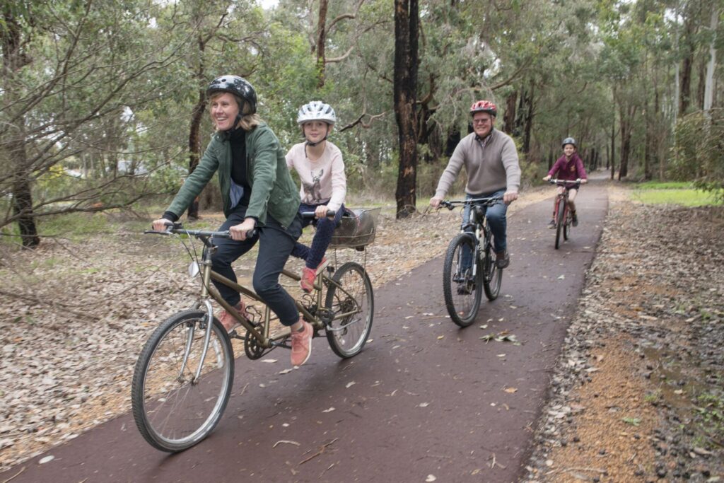
Manjimup to Deanmill Heritage Trail
290 km south of Perth
6 km


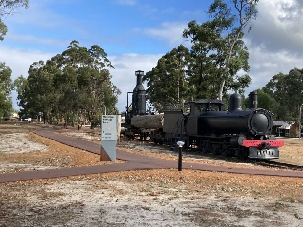
Manjimup Linear Path
290 km south of Perth
4 km


 Leaders in Rail Trail Bicycle and E-Bike Hire in the Yarra Valley and Yarra Ranges. Customise your own riding adventure and help us support local businesses along the way. Family run and owned with extensive local knowledge, bike hire has never been so easy.
 Experience the wonderful highlights of Southwest WA from Margaret River to Geographe Bay to the State Forest Hinterland to the city of Perth as we take you on a week-long journey experiencing 10 of WA’s best trails – all with hardly an ounce of organisational effort on your part. AllTrails is the leader in multi-day cycle touring in Australia. Join us for a spectacular week of varied environments, exciting exploration and natural wonders. This is a one-off cycle tour in May 2025 – ONE DEPARTURE ONLY so get in quick…
2 reviews of “Wadandi Track”
In addition to the northern part out of Busselton, my partner and I have now cycled most of the southern/middle part of the Wadandi trail: Cowaramup to Witchcliffe return, via Margaret River. The part north of MR is mainly through forest, whereas south of MR takes you through forest but also open cattle/dairy country. We enjoyed a coffee stop in Cowaramup, and even more so at the Yardbyrd cafe in Witchcliffe; top marks for that one!
The trail in general lacks way-finding signs at times, and opposed to many Victorian trails, we're yet to experience regular distance signs (several Vic trails have signs every km, marking the distance to and from your destination).
The track is made up of compacted gravel, but can do with some maintenance in places: we cycled the day after we'd had 5-10 mm of rain, and found ourselves cycling on the path in what at times resembled a shallow creek. Lots of silt and composted/mud-like material throughout the path in the forested area. The base of the trail is fine, just need some cleaning up and diversion of water.
Would be a fantastic experience if the full length of railway from Augusta to Busselton one day is fully converted!
Cycled the northern part, Busselton Jetty to Carbanup River, on a somewhat windy spring day. However, good tree cover protected us from most of the head winds. Great paved surface apart from the last 2 km, and the entire route is as good as dead flat. Saw heaps of kangaroos in cow paddocks, and a few black cockatoos towards the western end of the trail. The one thing that needs improvement is signage. We got a bit lost going through West Busselton suburbia, and had to rely on google maps, due to no signage in that area. Only around Vasse did we strike signs. All in all a great little stretch, which on top of that links up with paths at Vasse that take you out to the coast, with the option to cycle along the coast back to the jetty, along cycle and shared paths. Making for a ca 30 km circular route. Vasse, btw, makes for a nice coffee stop across the road from Coles.