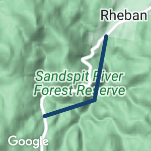
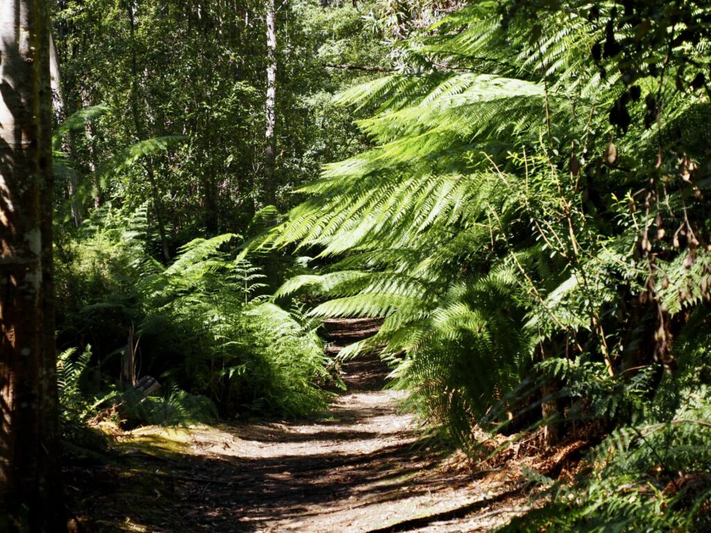
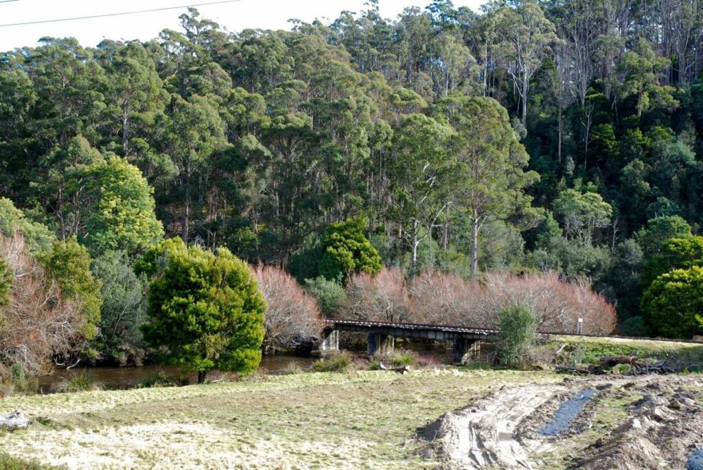
- Wielangta Tramway Trail is a 6.5km trail following the route of a former logging tram line through patches of rainforest and a lush sub-tropical environment.
- The trail follows the route of a former logging tram line so there are no steep hills.
- There are patches of rainforest and it’s generally a lush environment even in mid-summer.
- Wielangta is a local Aboriginal name meaning ‘tall trees’.
Nearby Attractions
- The Wielangta forest is part of remnant glacial refugia forest and contains blue gum eucalypt forest and pockets of cool temperate rainforest.
- The forest is a key habitat of rare and threatened species, including the Tasmanian wedge-tailed eagle, swift parrot, Wielangta stag beetle, spotted-tail quoll and eastern barred bandicoot.
- A rare orchid (Genoplesium nudum) has also been discovered in the forest.
- The forest forms part of the South-east Tasmania Important Bird Area, identified as such by Bird-life International because of its importance in the conservation of a range of woodland birds.
- Maria Island can be accessed by boat from Triabunna
Last updated: 6 December 2022
The trail is accessed in two places from the Weilangta Road in a remote part of the Cape Bernier Nature Reserve near the locality of Rheban.
Rheban is approx 18 km south of Spring Beach on the east coast of Tasmania, and approx 65km north east of Hobart.
Maria Island is due east of Rheban
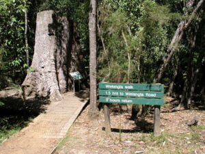
Wielangta Tramway Walk
Do you know of a bike hire or transportation service on this rail trail that should appear here? If so, let us know at admin@railtrails.org.au.
Information and Links
Bloke on e bike – HERE
To advertise your rail trail support business on this page, please click here
To contact us about this trail, email or click here tas@railtrails.org.au
Contact Rail Trails Australia
To contact us about this rail trail, email tas@railtrails.org.au
Background Information
Traditional Owners
We acknowledge the Paredarerme people, the traditional custodians of the land and waterways on which the rail trail is built
Rail line history
The Wielangta tram was a forest railway which ran on steel and wooden rails along the Sandspit River from the Wielangta forest to the sawmills in the Wielangta settlement and from there to the east coast opposite of Maria Island, where the sawn timber was loaded onto ships.
In its heyday, Wielangta had several sawmills, a general store, a bakery, a blacksmith and a school. Unfortunately, the settlement was devastated by bushfires in the 1920s and abandoned in 1928.
Nearby Trails
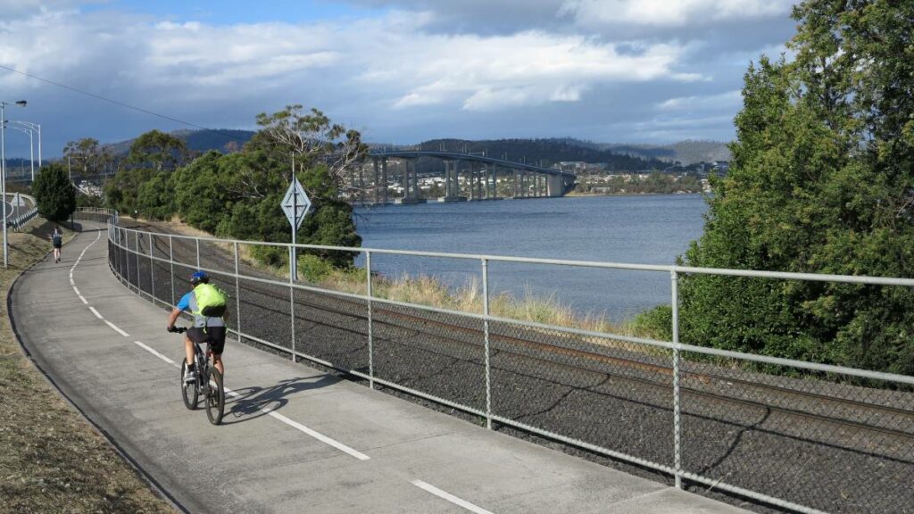
Hobart Intercity Cycleway
Hobart area, 1km from Hobart
15 km


Kaoota Tramway Track
Kaoota, 28 km SW of Hobart.
6 km

Derwent Valley Rail Trail
Derwent Valley, north east of Hobart.

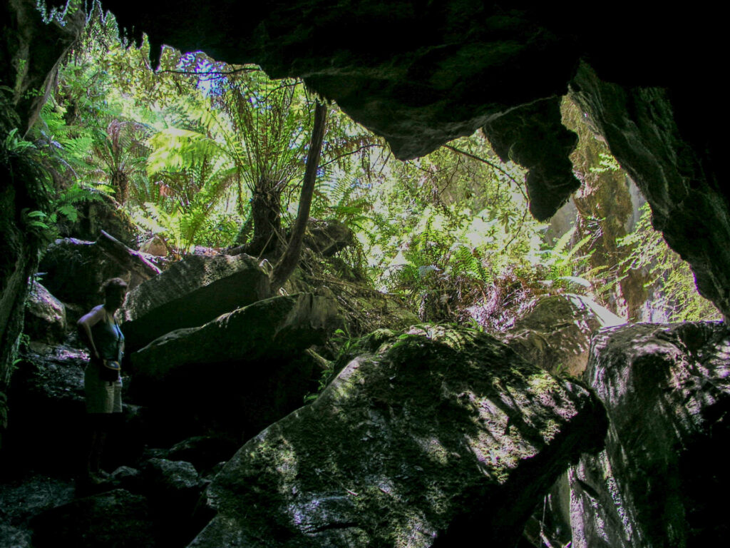
Mystery Creek Cave Trail
109km South of Hobart
2 km
Nearby Trails
Hobart Intercity Cycleway
Hobart area, 1km from Hobart
15 km
Kaoota Tramway Track
Kaoota, 28 km SW of Hobart.
6 km
Derwent Valley Rail Trail
Derwent Valley, north east of Hobart.
Mystery Creek Cave Trail
109km South of Hobart
2 km
One review of “Wielangta Tramway Trail”
We rode the Wielangta Tramway Trail yesterday, 13th June 2022. Well actually we rode about three quarters of it because we had to get off our mountain bikes quite a bit to negotiate some sections that were too steep, washed out or underwater. There were also steep sections with steps that needed a bit of a heave to get the bikes up.
It is hard to believe it was all a tramway. Some sections look like they definitely were but other parts are much too steep to have been. I think the original tramway had some wooden trestle bridges which are long gone now and hence the down and up sections and the crossing through the river. Well its more a creek than a river, but after heavy rain would be difficult to cross.
It would have been better if we had started at the southern end, at the picnic area, as we could have gone down more of the steep steps and washed out parts rather than up them – we started at the northern end.
But we did manage to get through with our bikes and some sections were very nice riding, through the forest next to the river. Might have another go at it in summer when conditions are drier.
Overall it was worth it, though. My 10 year old grandson really enjoyed the challenge, my 8 year old granddaughter wasn’t quite so impressed but she stuck at and got through.